For updated information about Church maps, see “Maps for Stakes, Wards, and Missions.”
Did you know that you can look up maps for meetinghouses, wards and branches, stakes and districts, temples, FamilySearch centers, missions, areas, bishops’ storehouses, canneries, Deseret Industries, Employment Resource Centers, Family Services, historical places, home storage centers, seminaries and institutes, recreational camps, tabernacles, and visitors’ centers?
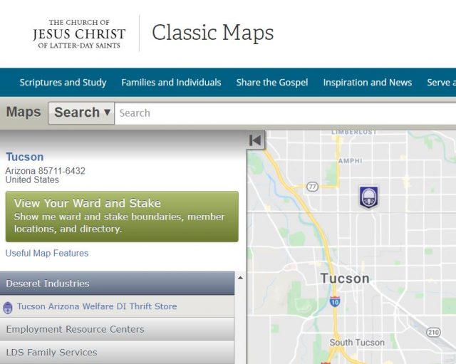
Go to the Classic Maps. Editor’s note: Classic Maps is no longer available.
Search. You can use the search bar along the top of the map to search for a specific address or the name of a Church entity listed above.Choose an entity. For example, click the gray bar for Deseret Industries to see all the Deseret Industries near you.
See the article “Maps of Mission Boundaries” for additional ways to see the boundaries of missions for the missionaries serving from your ward.
Trackbacks/Pingbacks