The Church offers several ways to see maps of stakes, wards, and missions.
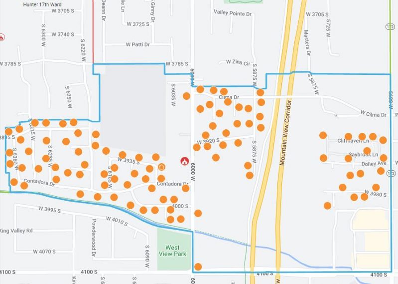
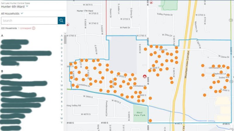
Ward Map
Log in to ChurchofJesusChrist.org with your Church account. Then click the menu in the upper right corner (the icon with 9 dots), then select Ward Directory and Map. You will see a list of ward members on the left and the map in the center with dots representing each member household.
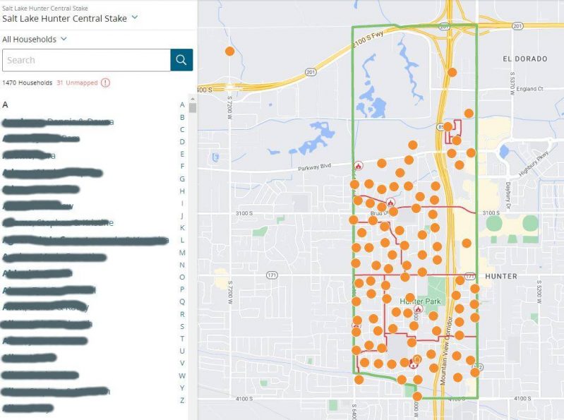
Stake Map
After logging in to your ward map (see above), you can select your stake from the pull-down menu in the upper left.
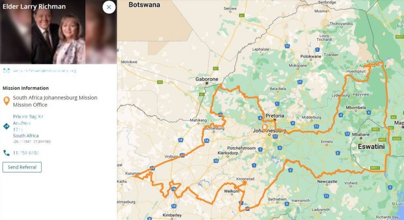
Mission Map
After logging in to your ward map (see above), you can select Missionary in the bottom left to see a map of the mission you live in.
Note: The Church website has discontinued the Classic Maps feature that showed wards and branches, stakes and districts, temples, FamilySearch centers, missions, areas, bishops’ storehouses, canneries, Deseret Industries, Employment Resource Centers, Family Services, historical places, home storage centers, seminaries and institutes, recreational camps, tabernacles, and visitors’ centers.
Other helpful articles:
- LDS Recreation Camp Website.
- How to Schedule Appointments at Latter-Day Saint Temples.
- Online LDS Store for Official Church Materials Store.ChurchofJesusChrist.org.
- How to Order Latter-day Saint Garments and Temple Clothing.
Mission maps no longer available
https://www.churchofjesuschrist.org/callings/missionary/map?lang=eng
https://classic.churchofjesuschrist.org/maps
As a Zone Leader in Pathways, I would value having a map of the different stakes within our zone. Is there anything like that available?
Just wondering why the classic maps were cancelled? It was a helpful tool to understand boundaries and areas of service for missionaries.
Why is a wider map of Ward Bounderies for stakes and wards available to members? Say I want to know the bounderies of wards and stake adjacent to my Stake or not of my stake. The information is not a secret so why is it not available?
You can see the boundaries of ward or stake in the “MeetingHouse locator” option under the 9 square icon next to your profile picture in the upper right. Once in there simple type in the ward or stake or city and it will give you options to choose from.
How do I print a Ward or Stake MAP? I do not want the member list, I want a map!
Is there a way to get a laminated map of each ward in my stake for emergency purposes?
Yes,
Print the map and take it to Steamroller Copies to have it laminated.
Can I get a map of a new ward I am moving into that is not in my stake?
I am the elders quorum Pres in the forest city ward in NC. We obviously had a huge hurricane here and have a lot of people that have been affected. I’m looking at a means to produce a map of all member in our ward boundary that includes lake lure and chimney rock that we’re absolutely destroyed. I do have a back ground in GIS and remote sensing. If there is a church program or means for me to develop this I would appreciate the assistance
I was born in the area of edgewood pierce county washington, heard the is a ward or branch in that area would you verify if you would.
What are all the wards in the Cood Bay Stake?
can not determine what ward i am in.